How Directional Drilling Works in Abilene Ground
Cap and slope: reading the section
The region's geology repeats like a well-kept ledger: thin, resistant limestone caps alternating with thick red mudstones, the same section that holds up the Callahan Divide's mesas exposed in every roadcut and lensing through the shallow ground beneath the city. The mudstones drill quietly; the caps arrive as hard, thin, persistent interruptions at horizons the local section predicts; and occasional gypsum seams add dissolving-ground fluid notes where the maps flag them. Cap-and-slope quoting states the expected beds per reach and prices the penetrations as passes — knowable geology, honestly ledgered, is the Key City's drilling gift.
Town institutions and turbine horizons
Two coordination worlds share the counties. The town's: three universities, the medical hub, and the bomber base run campus standards, mission calendars, and gate machinery — institutional registers priced as themselves. The countryside's: one of the world's great wind concentrations fills the horizons with collector corridors, interconnection sites, and operator easements that crowd the county records — making records checks the rural miles' first question and turbine-fleet fluency a working requirement. The desk carries both registers natively, with the distances bundled at honest economics.
The sequence, Key City edition
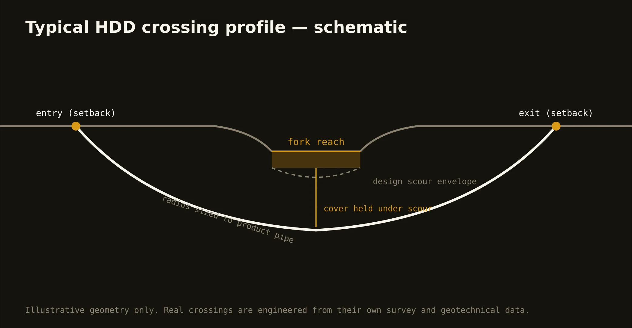
The bones are standard — locates plus private designating, potholes on every claimed utility, pilot on profile, ream to about one and a half times the product, pull, restore. Key City bends: bed-stated tooling with cap passes priced, gypsum fluid notes where mapped, wind-easement checks on the county miles, source-grade care near the supply chain, flash-aware staging at the draws, heat-season practices in a climate that means it, and restoration that treats campus lawns, farm headlands, and mesa-edge lots as the different surfaces they are.
Who owns what you're crossing
The city and the towns run their own ROW counters; three county departments cover the farm-to-market miles; TxDOT permits I-20, the loop, and the spokes. The city's water utility governs the supply chain's dams, intakes, and watershed corridors; state stream machinery rides the fork and the draws; the base keeps its gate coordination; railroads permit the main line's crossings; and the wind fleet's operators hold their easements across the counties. The quote names every owner on your alignment — here, the first questions are which beds and whose easement.
Straight answers
Will you hit rock on my bore?
In layers, yes — and on schedule: the section's limestone caps are thin, hard, and predictable once the local ledger is read, with quiet mudstone between them. The quote states the expected beds per reach and prices the passes — which is how predictable rock stays a line item instead of a surprise.
How deep do bores run under Abilene streets?
Cover follows the owning authority's standard and sits below everything potholed on the alignment — with fork and lake-country crossings running to their stacks and cap horizons factored into profile choices. The plan states your number and the beds expected at it.
How does this operation relate to the boring company serving the same area?
We're the HDD-specialist side of the same network: this desk quotes directional drilling — the steerable, fluid-assisted method — while our sibling operation fields the full trenchless line for the market. One intake, honest referral both directions, and whichever method your crossing actually wants is the one that gets quoted.
Ready to put a number on a real crossing? Send the scope — a person prices it.