Directional Drilling in Abilene
The Callahan Divide's mesa line stands south of this city, the Clear Fork of the Brazos gathers the north country's water, a bomber wing flies from the west side, and turbines crowd every horizon of one of America's great wind belts. Key City HDD is cap-and-slope drilling in West Central Texas — and it's ours.
HDD is the whole job here
The Key City region drills a layered inheritance: this is cap-and-slope country — thin, resistant limestone beds alternating with thick red mudstones, the caps holding up the Callahan Divide's mesas south of town and lensing through the shallow ground everywhere else, the mudstones drilling quietly between them. A bore here reads like the hillsides look: soft runs interrupted by hard, thin, persistent caps that arrive at predictable horizons once the local section is respected — so cap-and-slope quoting states the expected beds per reach, prices the cap penetrations as stated passes, and treats the region's occasional gypsum seams with the fluid respect dissolving ground deserves. It's honest, knowable geology for crews who read it — and a schedule-wrecker for anyone who assumes uniform dirt.
The market pairs institutions with horizons: the bomber wing's base on the west side anchors the region's federal register — gate-corridor coordination run on established machinery, with the base's expansion era keeping supporting infrastructure funded; three universities and the Big Country's medical hub give the city an institutional core outsized for its population; and the wind belt defines the countryside — this stretch of Texas carries one of the world's great concentrations of turbines, with the interconnection work, collector corridors, and operations backhaul that a generation fleet demands. Between them run the region's workhorse programs: FTTH across the city's grid, co-op line hardening through the counties, and the water projects a drought-serious region funds without being asked twice.
The waters gather north and sit in the lakes: the Clear Fork of the Brazos winds through Jones County's farm miles, and the supply chain — Fort Phantom Hill with its storied ruined fort, Kirby, Abilene's namesake lake under the divide — stores the region's drinking water behind city-owned dams. Behind everything sits the network desk: 50,000+ boring calls answered, ~10,000 crossings quoted, 2,000+ drilled, pricing the Key City region with the caps already in the math.
Fiber-Optic Boring
University and medical duct, wind-fleet backhaul, and Key City FTTH.
Electrical Duct Boring
Feeders for campuses, the base's era, and a wind belt's working grid.
Water & Force-Main Boring
Pressure pipe for a drought-serious region that drinks from its own dams.
Clear Fork & Supply Lake Crossings
The signature Key City bore: the Brazos' quiet fork and the lakes the city keeps.
Road & Highway Crossings
The loop, the interstates' junction country, and the farm-to-market miles — cap-stated, bundled smart.
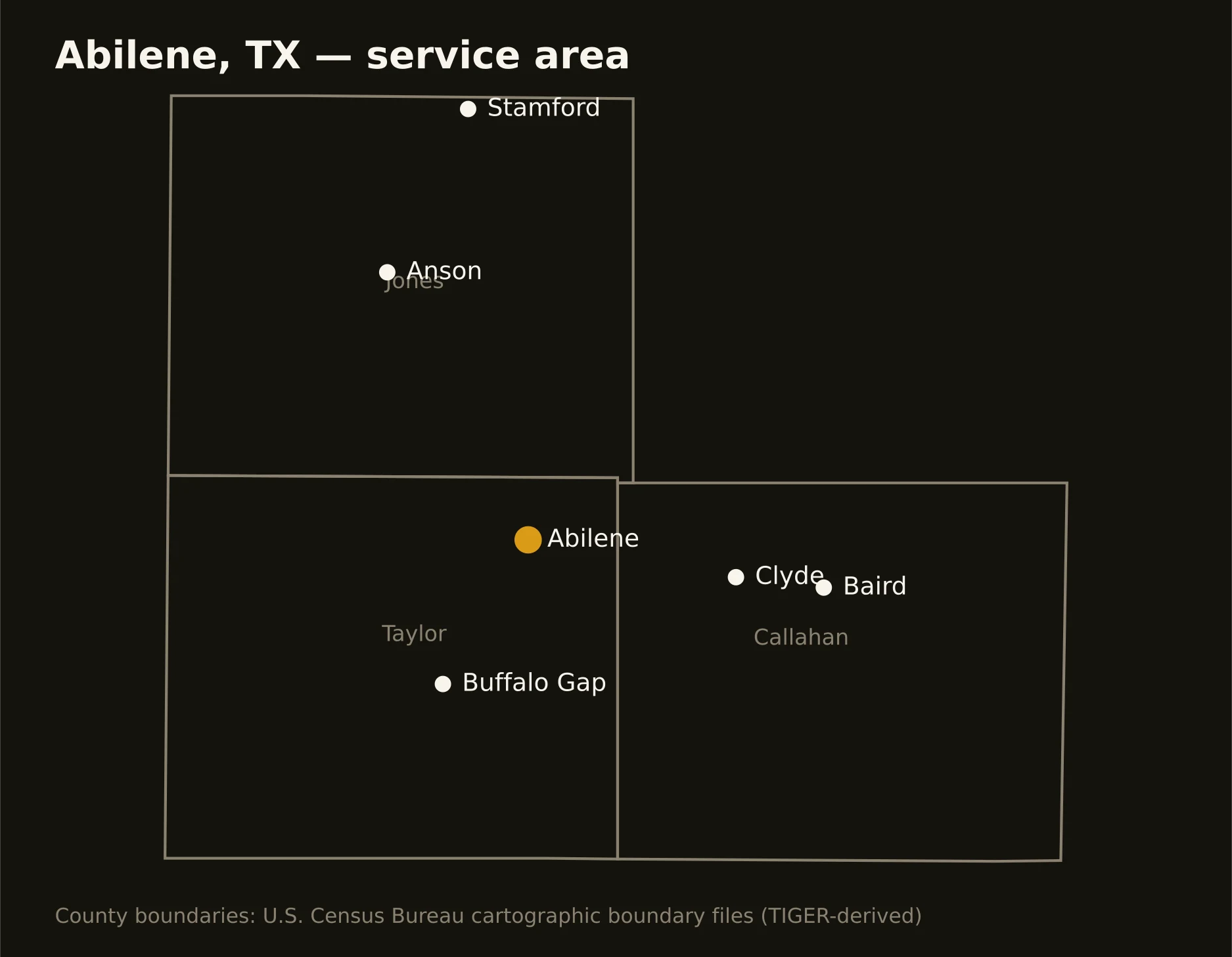
Three counties around the Key City — Taylor holding Abilene and the divide's mesas, Jones running the Clear Fork's farm country north, and Callahan carrying Baird and Clyde down the eastbound corridor. Full county list on the service-area page.